Green Geometric Blank A4 Document Landscape 7Green Geometric Blank A4 Document Landscape 7
©Green Geometric Blank A4 Document Landscape 7|David Frobert

Livradois-Forez Rando website and application: Your key to exploring the Auvergne in complete freedom

In the heart of the Auvergne, you’re invited on a unique adventure through the Livradois-Forez. This area, rich in varied landscapes, a mix of gentle mountains and deep forests, is an ideal setting for lovers of hiking, nature and cultural discoveries. The“Livradois-Forez Rando” website and app is an essential tool for making the most of these unspoilt areas. It’s free and can be used offline, making it your travelling companion wherever you are.

A website and application designed just for you, today's adventurers

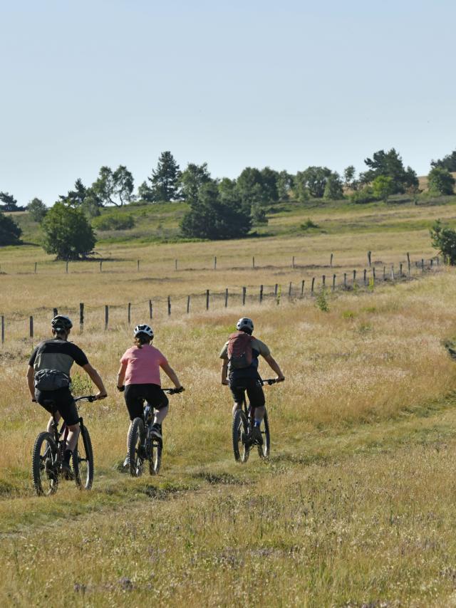
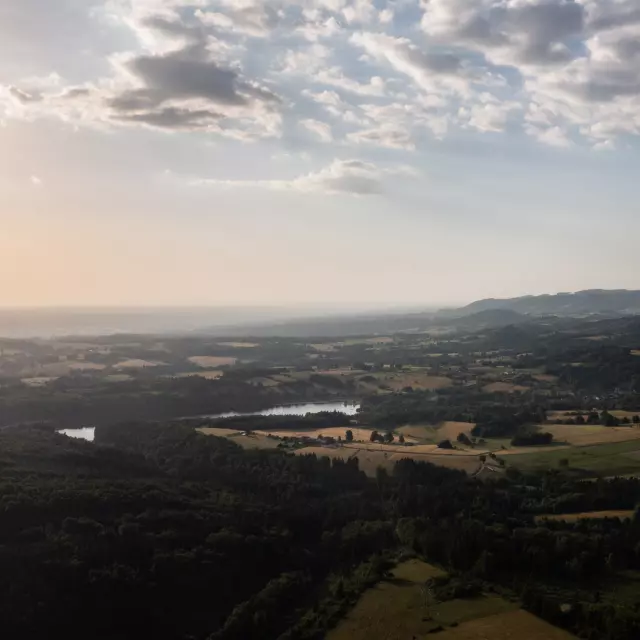
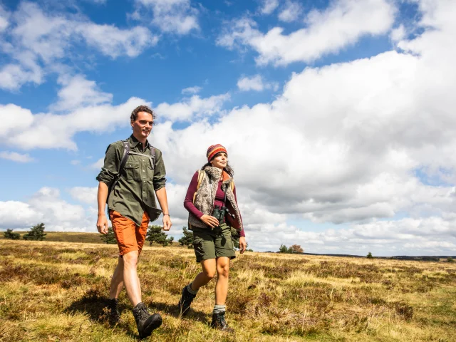
Whether you’re a beginner or an experienced hiker, the“Livradois-Forez Rando” website and application has been designed to meet all your needs. With over 200 hiking, mountain biking and cycling routes listed, it covers the whole of the region and is suitable for all levels and tastes. But the main advantage of this application is its ability to work offline. Thanks to the integrated IGN base maps, all the essential information is at your fingertips, even in the heart of the woods or on the crests of the Hautes-Chaumes.

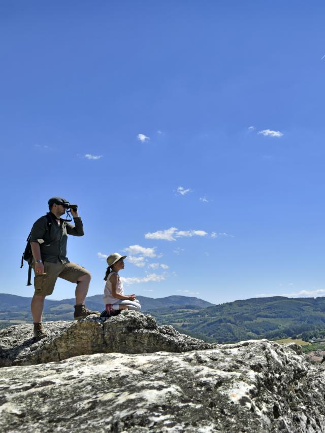
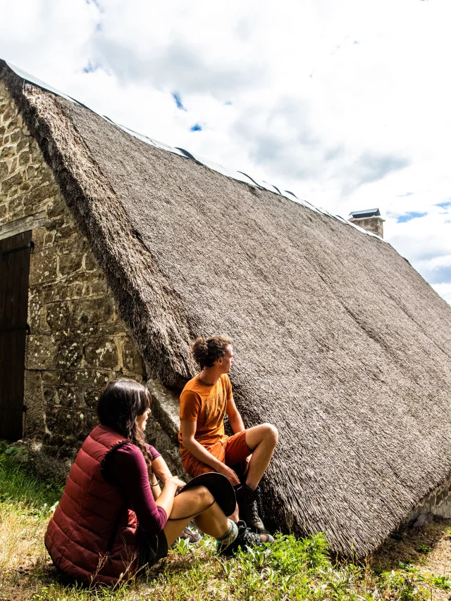
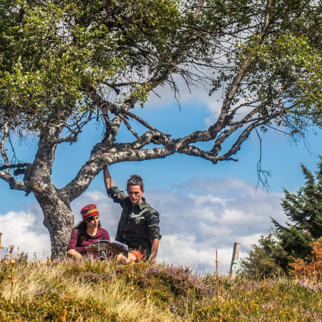
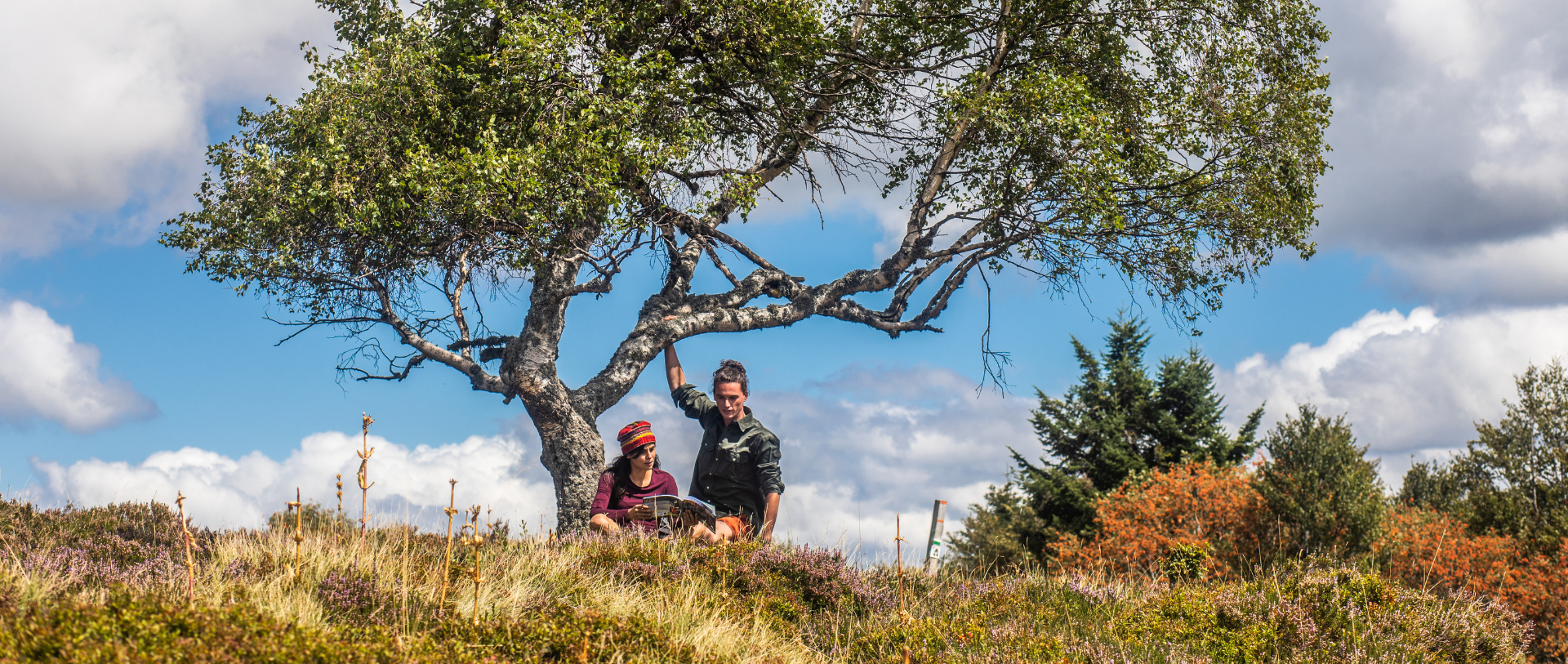
Facilitating and inspiring, the website and app don’t just list routes. It also presents themed itineraries that allow you to discover the Livradois-Forez from a whole new angle. Whether you’re passionate about botany or local history, or simply looking for breathtaking views or watering holes to cool off in, you’ll find routes specially designed to suit your interests. And that’s not all: the website and app also suggest places to visit close to the routes you’ve chosen, as well as accommodation to extend the experience beyond a day’s walking.

A versatile travel companion

Fancy an afternoon out on a mountain bike with the family? All you have to do is choose an“easy” difficulty level and a duration of less than 2h30. In just three clicks, the “Livradois-Forez Rando” app will offer you a tailor-made selection based on your level, the time you have available and the degree of difficulty you’re prepared to tackle. This multi-activity approach makes “Livradois-Forez Rando” a versatile tool, ideal for all types of adventurer.

But the application doesn’t stop there. It goes beyond simply organising your day out by offering you a selection of establishments where you can eat after your effort. Whether you want to sample local cuisine after a long hike, or simply enjoy a coffee in a picturesque setting, “Livradois-Forez Rando” has thought of everything. It even lists the best restaurants close to your routes, so that your hiking experience is complete, from start to finish.

“Livradois-Forez Rando doesn’t just guide you on your walks. Its great advantage is that it brings together a number of outdoor activities on a single platform, with filters to refine your requirements.

Downloadable itineraries for total freedom

Imagine being able to explore the Livradois-Forez region without ever worrying about losing your way. One of the great things about the app is that you can download routes in advance. This feature is particularly useful for those of you who like to get off the beaten track or explore areas where phone coverage is uncertain. By downloading the routes, you can consult all the information even without a connection, ensuring that you can navigate with peace of mind. In theory, getting lost becomes a voluntary option, a choice to extend your adventure or enjoy the scenery for longer.

With this offline functionality, “Livradois-Forez Rando” becomes a real pocket guide, capable of accompanying you wherever you go. Whether you’re in the middle of a summit ascent or crossing a remote valley, you’ll always have at hand all the information you need to enjoy your hike in complete safety and peace of mind.

A practical tool to simplify your walks

“Livradois-Forez Rando” has been designed to make life easier for hikers like you. Practical and user-friendly, its intuitive interface means you can quickly find the information you’re looking for, whether you’re planning a new outing or adjusting a route along the way. The ability to filter routes by duration, difficulty or type of activity helps you find exactly what you’re looking for, in just a few clicks.

What’s more, it offers invaluable information on the local heritage, not-to-be-missed events and outdoor activities available close to the trails. This wealth of information makes “Livradois-Forez Rando” not just a guide for your walks, but also a valuable ally for discovering all that the region has to offer.

An enhanced hiking experience

By using “Livradois-Forez Rando”, you can be sure of an enriched hiking experience. In addition to the traditional routes, the application offers themed itineraries that plunge you into the heart of the history, culture and nature of the Livradois-Forez. These itineraries invite you to explore emblematic places, meet local craftspeople, or marvel at breathtaking panoramas.

The app goes even further, offering suggestions for visits and activities to do in the vicinity of the routes. Whether it’s a castle to explore, a local market to discover, or an ancient forest to stroll through, “Livradois-Forez Rando” guides you towards experiences that complement and enrich your hike. And for those who want to extend their stay, the app offers a selection of accommodation located close to the trails, so you can make the most of every moment spent in Livradois-Forez.

How do I use Livradois-Forez Rando? Website and application version

You can consult all the information sheets on your computer to prepare your walk. You can also download them in PDF format and print them out to take with you.

www.livradois-forez-rando.fr

Share your experience!

Use the sharing options to send the route to your friends or publish it on social networks.

1Download and install the application
  • 1. from your smartphone, go to www.livradois-forez-rando.fr

  • 2. click on “Download the app” and it will be added to the home screen

2Launch the application and navigate
  • 1 Open the application and authorise the necessary permissions, such as access to your location.

  • 2 Choose your activity (mountain biking, walking, etc.) to display the routes and see their location on the map. If you wish, add filters according to your preferences (difficulty, mileage, starting town, etc).

3Search and choose your route
  • Search for a tour that matches your requirements and once it appears, click on it to access the description.

4Download the circuit for offline use
  • 1. click on “Embed this item for offline access” at the top of the circuit file page.

  • 2. the route with the IGN map and all the details will be saved on your device.

5Follow the Itinerary on the day of the tour
  • 1 Open the “Offline content” section in the menu at the top right of the application and select your route.

  • 2 Follow the route on the IGN map. Your position is displayed in real time to guide you.

6Explore the surrounding area after your hike
  • 1) Explore the suggestions for nearby visits. For example, you could visit a medieval village or a local cheese factory.

  • 2 If you wish to extend your stay, consult the “Accommodation” section to find a place to stay overnight.